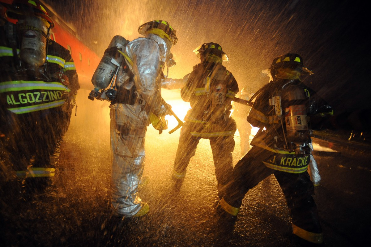
When you call the rescue service, a part of the talk time is determined by the place where the doctors, firefighters or the police need to go. Automatic sending of geolocation data will reduce the talk time. In the United States, 25 million people call in an ambulance a year, and the acceleration of the rescuers' response by one minute
can lead to the rescue of more than ten thousand lives over this period. In the release of this fall iOS 12, the function of sending coordinates
will appear when you call 911.
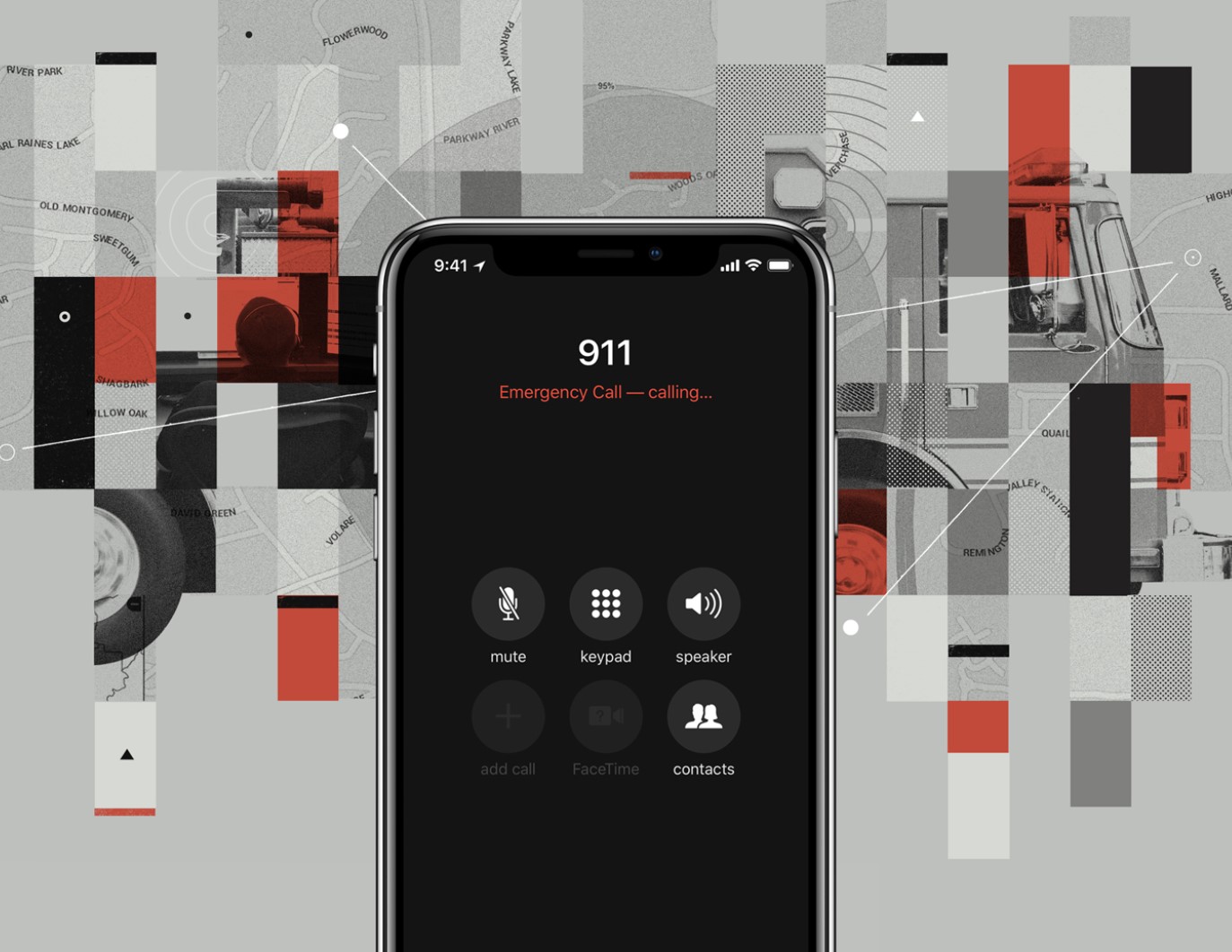
Sensors and software on Apple's smartphones and Android gadgets like Uber, Facebook and other services determine our location with high accuracy so that we can quickly call a taxi, order a pizza or get relevant advertising from a store nearby. At the same time, emergency services are often stuck in the past: the operator asks to dictate the location. Services need to reduce response time and quickly receive geodata, even if the person cannot say anything.
About 80% of calls from 240 million a year to the number 911 are made from mobile devices. When a call comes from a landline phone, its exact address is quickly determined, and the accuracy from a mobile phone can exceed a hundred meters. In 2016, Fox 2 News journalists conducted an
experiment : as a result of a call to the 911 call center, the location was determined with an error of two kilometers - at the cell phone tower.
To solve the problem of determining the location, Apple launched the HELO - Hybridized Emergency Locations system in 2015. This system uses data from cell towers and smart phone sensors - GPS and Wi-Fi - to help the rescue service. HELO is already used by mobile operators AT & T and T-Mobile.
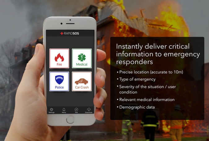
The next step will be the automatic sending of HELO data from phones to iOS using
RapidSOS technology. The system will allow rescue service centers to obtain this data through integration with existing software in these centers.
Apple assures that, in accordance with the company's focus on protecting privacy, data from the systems will be available only to the 911 Rescue Center and only during a call to the service.
The Federal Communications Commission (FCC) requires manufacturers to determine the location of the caller with an accuracy of up to 50 meters at least 80% of the time. IOS location services allow you to exceed this figure even in an urban environment.
RapidSOS, in partnership with which Apple is launching a project to automatically transfer geodata to 911 in iOS 12, developed a system that allows you to connect the rescue service with any connected devices - home security systems, wearable gadgets, applications. To do this, the company has released an
API for the “Internet of Things” - manufacturers can use it to connect to the program.
The need to minimize the time between the call and the assistance has been facing the rescue services since their appearance. Over its decision with the help of mobile devices running Russian startup
Button Life . The infrastructure of the project consists of a user device - it can be a smart watch, a phone or a key ring on the neck, and a doctor on the emergency line who calls an ambulance, reports the incident to relatives and sends geodata to everyone with an accuracy of 6 meters, obtained using GLONASS / GPS The device also controls the patient's well-being and can turn on automatically, for example, when falling. The line of gadgets includes devices for the elderly and for children.

If we talk specifically about the rescue service, in Russia in May 2017, the Order of the Ministry of Communications and Mass Media of Russia “On Approval of the Rules for Determining the Location of User Equipment (Terminal Equipment), from which the emergency number was called or transmitted,
came into force services “112”, and the order of provision and the amount of information necessary to ensure response to a call or report on an incident using a single emergency call number “112”. " All the Big Five mobile operators quickly implemented the sending of coordinates to the system 112 due to the centralization of the service. The system is gradually being introduced in various regions - from June 1, 2017, it has already been launched in the Moscow region, and, for example, it
has been operating in Voronezh since December 2017.
After the call of the mobile subscriber to the rescue service number, the system 112 receives the operator's identifier, sends him a request for location of the calling subscriber, and the operator sends the coordinates to the system taking into account the error. Information subsystem 112 visualizes the data on the map.
